Artist:
Henry C. Pitz
(American, 1895 - 1976)
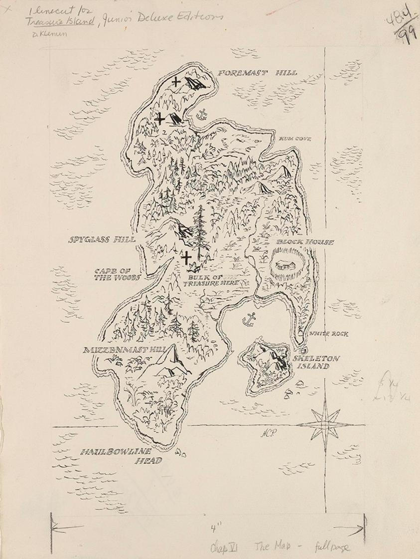
The Map
Alternate Title(s):The Map
Illustration for Treasure Island, Chapter VI
Medium: Ink on paper
Date: ca. 1954
Dimensions:
14 7/8 × 11 1/4 in. (37.8 × 28.6 cm)
Accession number: 2003.19.14
Copyright: © artist, artist's estate, or other rights holders
Label Copy:
In The Map by Henry C. Pitz, a drawing of an island done in fine black ink lines, we find points of interest such as "Rum Cove," "Spyglass Hill," and "Skeleton Island." Near the center of the map is a cross (or an X if you angle the map) with an inscription "Bulk of Treasure Here." These clues reveal the map was created as an illustration for Robert Louis Stevenson’s Treasure Island, first published serially between 1881 and 1882, with a map hand-drawn by the author. The popular book has been reprinted many times featuring either Stevenson’s own hand-drawn map or one by another artist. Pitz created this map for Junior Deluxe Editions, published in 1954.
Maps, of course, are important documents in and of themselves, but when they appear as illustrations in a book they tell us as readers just how important geography is for the story. The often-detailed accounts in the text are supplemented by maps to provide readers with a sense of space and place in addition to the action of the narrative. Reading the book while referencing a map such as this draws the reader even further into the story and opens the possibility of creating one’s own adventure within the boundaries of the map.

